Cetraro
Cetraro, gateway to the heart of the Tyrrhenian Sea
Sea
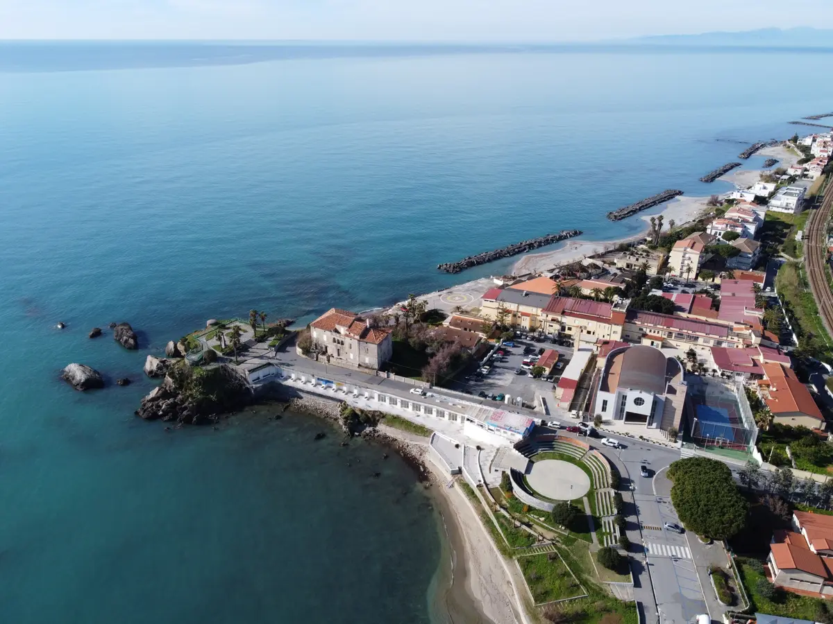
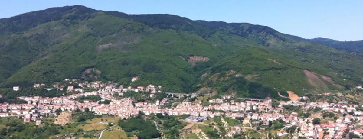
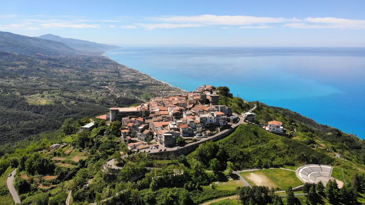
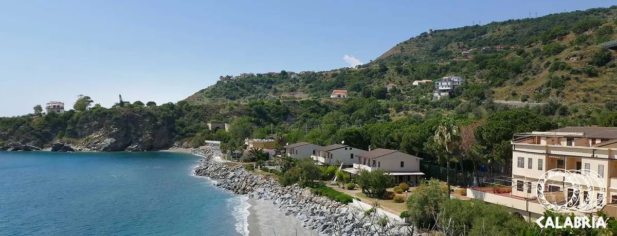
Cetraro is an agricultural and commercial centre that rises up on a rocky spur overlooking the wonderful coast and sea. Cetraro was probably the first seafront town of the Bruzi and along with the tourist harbour and the accommodation distributed on the shore, it is one of the most fascinating places of the Riviera dei Cedri (Citron Coast).
And it owes its name precisely to citrus fruit (Citrarium), as a reference to the large quantity of citrus fruit produced in the surrounding countryside.
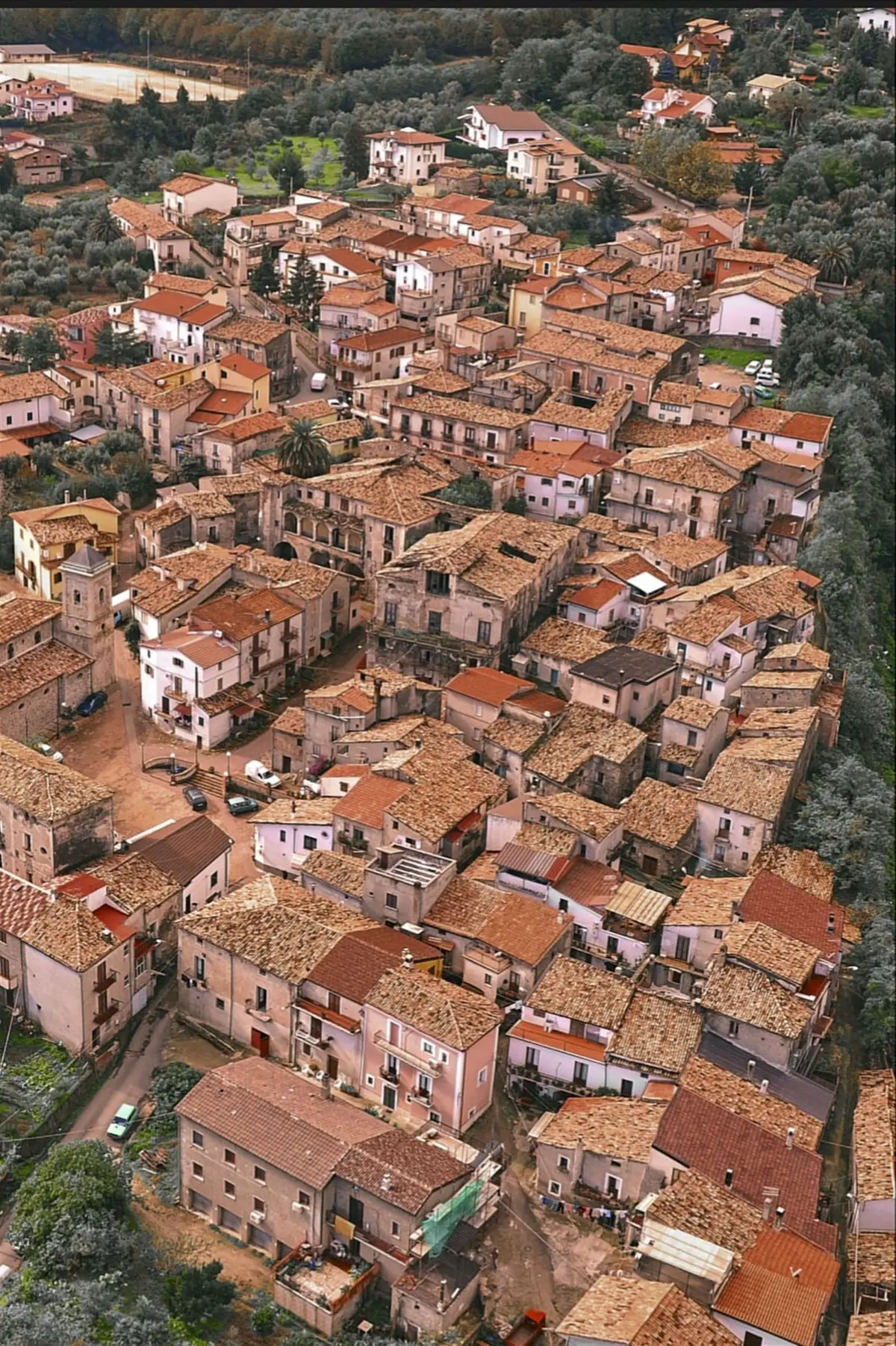
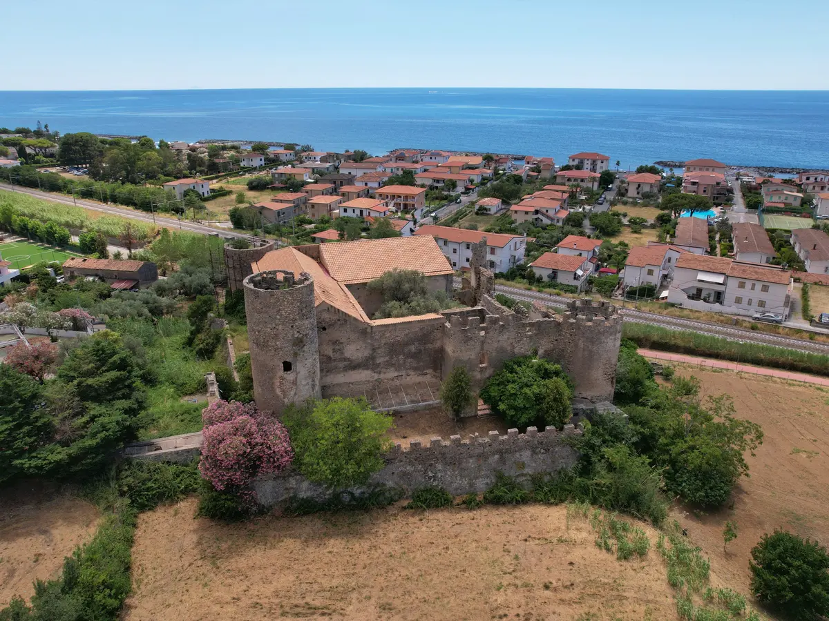
The old town, perched on a hill, was destroyed by corsairs in 1534 and severely damaged by the 1638 and 1905 earthquakes. Cetraro was probably the first seafront town of the Bruzi and its marina, along with the tourist harbour and accommodation, is one of the most fascinating places of the Riviera dei Cedri (Citron Coast). The old town centre unfolds among alleyways, arches and fascinating views; access to the town is through three ancient gates: Porta di Mare, di Basso and di Sopra; monumental evidence of a formerly fortified village.
Old town centre
Arriving at Cetraro the first recommended stop is the complesso del Ritiro, where the Chiesa di S. Maria delle Grazie (church of Our Lady of Gratitude) can be found. Outside the church, standing on the square, visitors can take in the impressive views of the so-called Convento del Ritiro (Retreat Convent). Leaving from piazzale del ritiro (the retreat’s square), diverting for a short distance to the left is the Sentinella (sentinel): an intimate and picturesque forecourt, typical of Cetraro in the past. Continuing toward the town centre we reach via Luigi De Seta, still known today with the dialect name of "a via i rota", perhaps due to being ruined by the wheels of wagons that travelled on it once upon a time. Piazza del Popolo is the heart of the town, at the centre of which stands the Fontana del Nettuno (Neptune's fountain), known in dialect as “u giants” (the giant), a crowning monument of Cetraro’s first aqueduct. Around it there are many buildings and palaces, among which the Palazzo del Trono, which is the headquarters of the museo "Brettii e del Mare” (Museum of Bruttii and the Sea). Via Roma was Cetraro’s main street during the nineteenth century and at the bottom of the street, preceded by a squared bell tower, is the main church, Chiesa Matrice di S.Benedetto Abate (Main church of the Abbot St Benedict). Strolling down the Via Regina Elena, we reach Cetraro’s oldest district; Marinarìa. Formerly the place of residence of sailors, fishermen and workers of the underlying dockyard who looked after the construction of boats, oars and other tools for boating for the Regia Marina Napoletana. From the main road, an architectural complex can be seen that includes the ruins of the Chiesa dell'Annunziata (church of the Annunciation), the Calvary and the remains of the Porta di Mare. Largo S.Giuseppe is a lively and picturesque square that has, as its stage, the Palazzo del Trono, Palazzo Ranieri, Palazzo de Caro-Militerni and, last but not least, the Palazzo De Caro, reminiscent of the façade of typical loggias. The Palazzo De Caro preserves in the back, the antique garden still intact. To conclude the visit to the old town centre, passing through its typical “strittu”, crossing the arch of Porta di Basso and entering Vico Gineca, visitors are greeted with a succession of openings and winding paths with street-level flats or homes, only to arrive again in via Roma, in the town's centre. Not be missed among other buildings of worship and as part of an impressive tour is the Santuario della Madonna della Serra (shrine of Our Lady of the Serre mountains).
Museum of the Brettii and of the Sea
The Museum of the Brettii and the Sea is an interesting museum situated in the beautiful location of the Palazzo del Trono, in Cetraro's old town centre. The museum is divided into two main sections, archaeology and cartography, in addition to a very interesting library, which houses precious historical volumes.The archaeology section is broken down into two exhibition areas: the Museum of Bruttii and the Museum of the sea. The first hosts numerous finds of the Bruttii period excavated at Cetraro, Acquappesa, Belvedere Marittimo and neighbouring areas. These are predominantly funerary urns, with tableware of various kinds, small bronze statuettes, coins of Greek coinage, an interesting bronze belt and everyday life items. The second displays many Roman amphorae and some medieval amphorae found in the depths of Consenza’s Tyrrhenian sea and evidences the presence in local waters , then trade lanes, of ancient transport boats while providing information on sea traffic at the time. Some scale models of ancient ships complete the exhibition. The historical section comprises the Cartographic Museum, which is a true gem of Calabria’s cartography and that of southern Italy in general, with a display of a large collection of maps that span a wide historical period that ranges from 1400s to the post-unification period. Among the many maps present, worthy of a mention is the display of the famous “Carta Sismica” (seismic map) made by Padre Eliseo della Concezione following the earthquake of 1783, which struck mainly the area of Calabria Ultra. This is a type of “pre-historic” Mercalli intensity scale, recording the effects of the earthquake on inhabited centres, broken down by three degrees or categories of destructive effects, ranging from category 1 (a centre struck by the earthquake) to category 3, (a centre seriously affected or demolished to the ground.
Cetraro Marina
Of particular interest is the entire northern promontory of Cetraro known once upon a time as Capo del lo Citraro, which is overlooked by the Torre di Rienzo; an ancient defensive outpost. In the harbour, the tour continues with Cetraro's cliff, which boasts the cliff known as Testa del Leone (the Lion's head) and the cave called Grotta dei Rizzi. The promontory of 'Ncramata looks to the vast rocky amphitheatre of Acqua Perropata, that owes its name to a waterfall that cascaded from the high cliff above. The large beach of Lampezia stands out on the coast; it is equipped with spas and served by a modern waterfront. Under the promontory of Testa del Leone only a cave remains from the set of caves known as the Grotta dei Santangiolesi. The breakwater at Cetraro's Port stretches out from the promontory; the port is both for fishing and tourism, the sole maritime stopover between Maratea and Vibo Valentia, an excellent starting point for trips to the Aeolian Islands. A tree lined avenue leads to via Libertà, from where visitors can enjoy the views from the bottom of the Rupe di Cetraro (Cetraro's cliff). Continuing toward the town centre we reach the Piazzetta, as Piazza di S. Marco is called; a privileged meeting point of the populated Borgo S.Marco, built by a committee from the Veneto-Trentino following instructions of Venice’s Mayor after the earthquake of 1905. All buildings here were built to resist earthquakes and inspired by a vaguely Venetian taste. In order to continue as a well-established tourist area, from 2009 Cetraro's Port was provided with a dock with floating pontoons equipped with all necessary facilities.
Torneo dei Rioni
The event “Torneo dei Rioni” was created in 1986 in honour of St Benedict; Cetraro's patron saint. The ritual requires for a challenge between the town’s eight historic districts on the last Sunday of July in a spectacular day of games, where the athletic skills and competitive values of participants are praised. In the natural setting of Piazza del Popolo, the eight teams make use of previously selected young athletes to represent their own district. Each District is assigned a historical symbol. The Saturday before the day of the final, the most touching moment of the whole event takes place: the spectacular choreographic parade with hundreds of people in period or “themed” costumes, acclaimed by thousands of visitors who crowd around the route. Each district puts their heart and soul into it, to win the much coveted "cup" and parade it through the alleys of the district itself which has staged a feast.
Nessun risultato